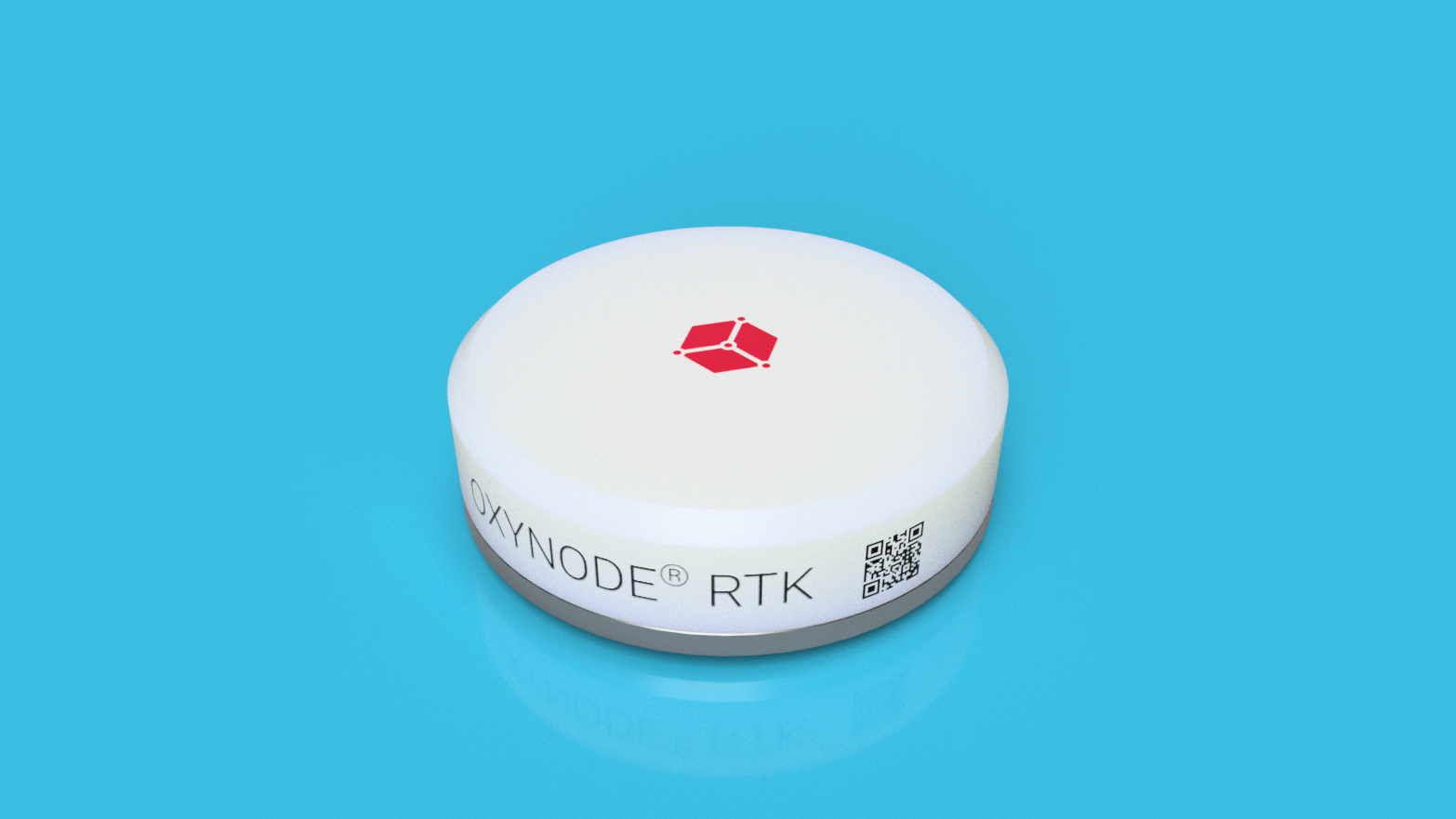
RTK SERIE
LoRaWAN® Network
Centimeter geolocation
Hybrid power supply
Synchronized meshing
Battery life 15 years

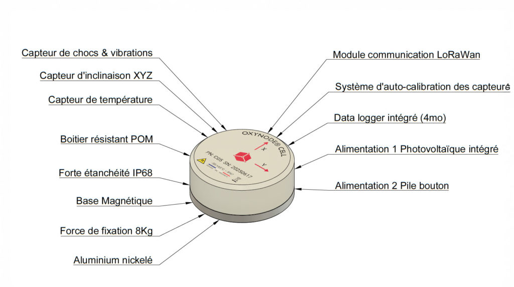
The RTK Series high-performance, fully autonomous IoT sensors incorporate a precision inclinometer, a proprietary high-sensitivity shock sensor and RTK GPS in a compact, waterproof case.
The RTK GPS function meets the following needs:
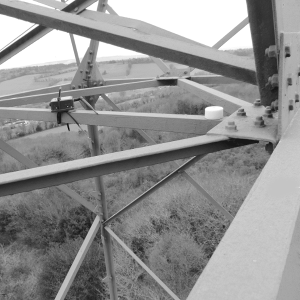
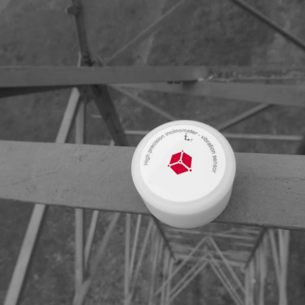
- Positioning of infrastructures with centimeter precision (Bridges, cranes, pylons, Wind turbines, etc.)
- Vectors localization (Truck, boats, construction machinery, agricultural machinery …)
- Movement alert
The inclinometer and shock detector functions meet the needs of:
- Deformation of infrastructure.
- Structural analysis (Aging of structures).
- Shock detection (collisions, lightning, intrusions …).
Assets
- Centimeter positioning.
- Most sensitive sensors on the market.
- The case is extremely solid and compact. Waterproof to IP68 level.
- The magnetic base, allows an easy and fast deployment.
- “Place & Forget” type, the module is fully autonomous over a period from 12 to 15 years.
- 1/100 timestamp
- Two-way communication; remote measurement reception and setting.
- Identification with smartphone via NFC.
- Deployable by WILLING AIR drone.
- Safety: Entirely designed and Made in France.
| Technical Characteristic | |
| Dimensions | Diameter 56 mm Height 20 mm |
| Weight | 65g |
| Energy | Hybrid: Lithium battery + light energy recovery |
| Autonomy | 15 years |
| Operating range | -25 ° C to + 65 ° C |
| Environment | Waterproof to IP68 level |
| Communication | LoRaWAN® network |
| Sensors | Inclinometer, Accelerometer, Shock and Temperature |
| Positioning | GPS RTK (GPS-L1 / GLONASS / BEIDOU) |
| X-Y angular accuracy | ±0.05° |
| X-Y / Z spectrum | 1 to 1600Hz / 1 to 4kHz |
| X-Y / Z resolution | 0,125mG / 1mG |
| Compression | Logarithmic / Frequency |
| Identification | NFC |